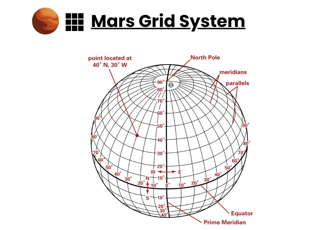
6. Maps & Masterplans
Explaining Mars’ dry surface deserves more ink than this codex can carry. I have tens of thousands of color maps, plans, sketches, and schematics — corridors traced over wind, districts nested in relief, utilities braided through rock — too many to bind between these covers without crushing the prose.
So I’ve moved the cartography into a companion guide, Maps & Masterplans: over a hundred pages, full-color, and updated as our surveys sharpen.
It can be read separately, because maps belong in full color and are useful across the codex series.
Get your FREE color Maps & Masterplans companion guide here.
https://www.canva.com/design/DAG0MJ0vqDw/vEyTW5GtUnXxi5PXlRybsA/edit?utm_content=DAG0MJ0vqDw&utm_campaign=designshare&utm_medium=link2&utm_source=sharebutton
In the remainder of this Surface & Settlement book, I will sketch the logic — zones, bands, quads, and the rhythms they enable. In the Maps companion guide, you’ll see the working drawings: scale bars, section cuts, siting notes, and the quiet math behind “not there, here.” I was the droid who walked the lines and checked the bearings; this is my ledger. Read on here for the structure; fetch the color atlas for the proof.